Data products
Empowering Business Enterprises with Digital Upgrading through Data Intelligence
Political districts and borders
Administrative Division
Data description
Type of data
Administrative Division
Data description
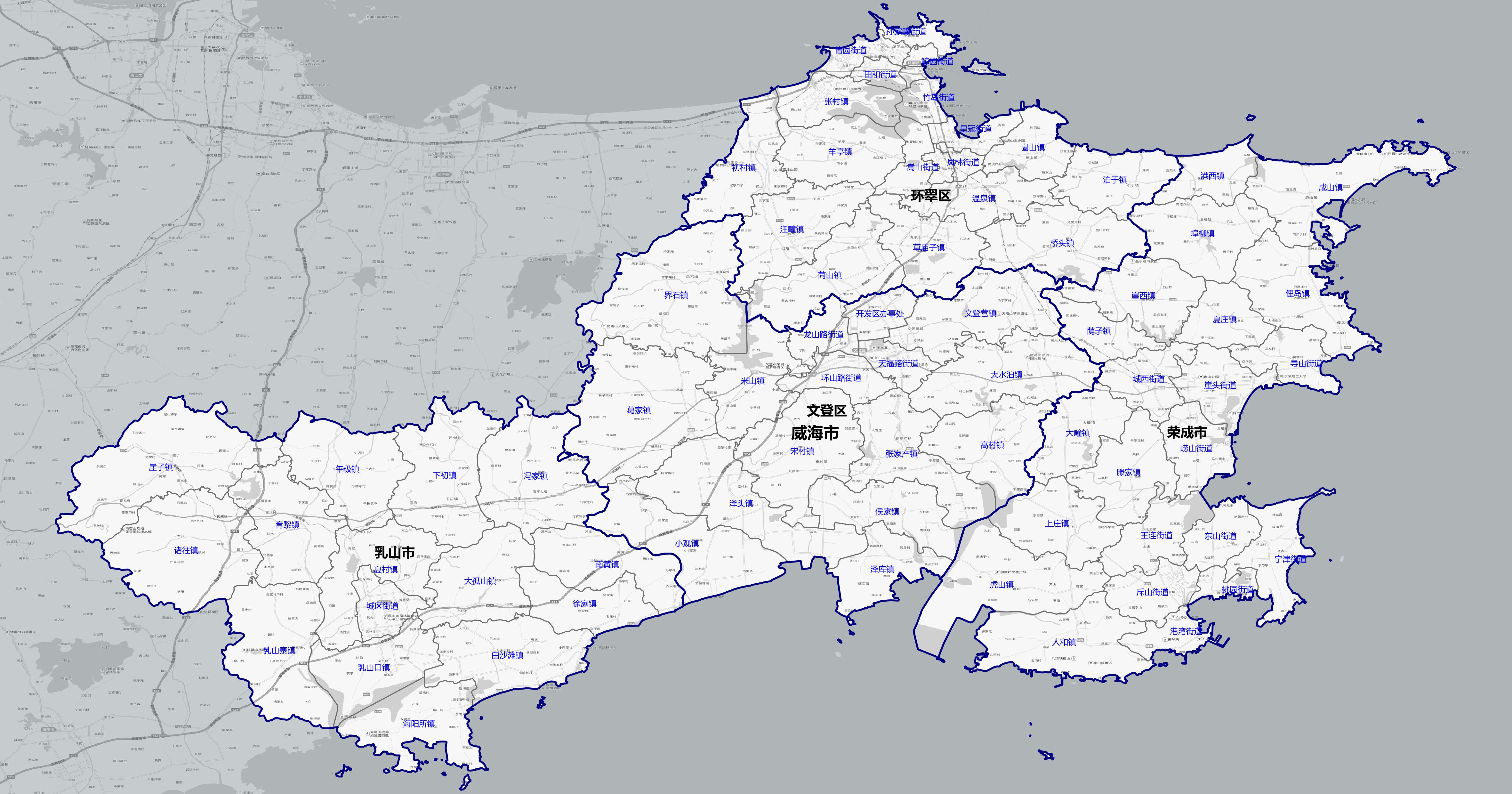
Level 4 addresses, township street boundary data covers the country (except Hong Kong, Macao and Taiwan) 30000+, can view the administrative division boundaries, regional insight
Scope of use
Chinese Mainland
Update frequency
Annual
Latest aging
Current year
Data type
Boundary distribution map
Data format
Excel、table、shp、geojson、 Database format, etc
API
support
Application Scenarios
Urban planning
Urban planners use administrative zoning data to analyze population density, infrastructure distribution, traffic flow, etc., to formulate urban development strategies and improve urban management.
Market research
Companies can use administrative division data to analyze market potential, consumer behavior and preferences in different regions to optimize product distribution and marketing strategies.
Academic research
Sociologists and demographers use administrative division data to study population distribution, migration patterns and socioeconomic conditions to understand social structure and development trends.
Public safety
In the field of public safety, administrative division data can help emergency response teams determine resource allocation, optimize rescue routes and develop disaster response plans.
Consult
Data customized
Contact us
010-58819176
Friendly links
TOP
Data customization