Data products
Empowering Business Enterprises with Digital Upgrading through Data Intelligence
Political districts and borders
Blocks
Data description
Type of data
Blocks
Data description
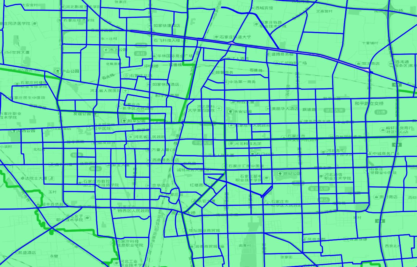
It refers to the data that divides the city according to natural boundaries such as roads, railways and rivers, takes streets with finer granularity as the unit, and makes statistics on the multi-dimensional basic data of people, land and objects. Compared with the traditional data that takes squares as the statistical unit, the natural block data is more in line with human cognition and actual situation, and has stronger use value
Scope of use
Chinese Mainland
Update frequency
Annual
Latest aging
Current year
Data type
Block distribution map
Data format
Excel、table、shp、geojson、 Database format, etc
API
support
Application Scenarios
Network location
Based on the multi-source integration of geographical big data, it can lock the potential customers based on location, combined with the city's commercial district and other features of the comprehensive selection of new store address.
Dynamic prediction
Based on natural block grid, crime location data, POI and other geographical big data, machine learning crime occurrence characteristics and rules, to provide a dynamic prediction map of urban crime events.
Monitoring platform construction
Natural blocks provide the city monitoring platform with street-level granular data such as people, land, property and finance, and provide common analysis models to support the system platform to monitor and track and evaluate the progress of urbanization based on various spatial units at each layer.
Consult
Data customized
Contact us
010-58819176
Friendly links
TOP
Data customization